What does your site look like from above?
Please follow this link to see an example of the change in one year of an award winning residential development at Prescot Park. This video is presented in 4k. (Youtube offers choices in video resolution – check that the video is being displayed in 4K).
Please follow this link to a short marketing video of a development of modern terraced housing in Farnworth. This sample video is reproduced at 720p.
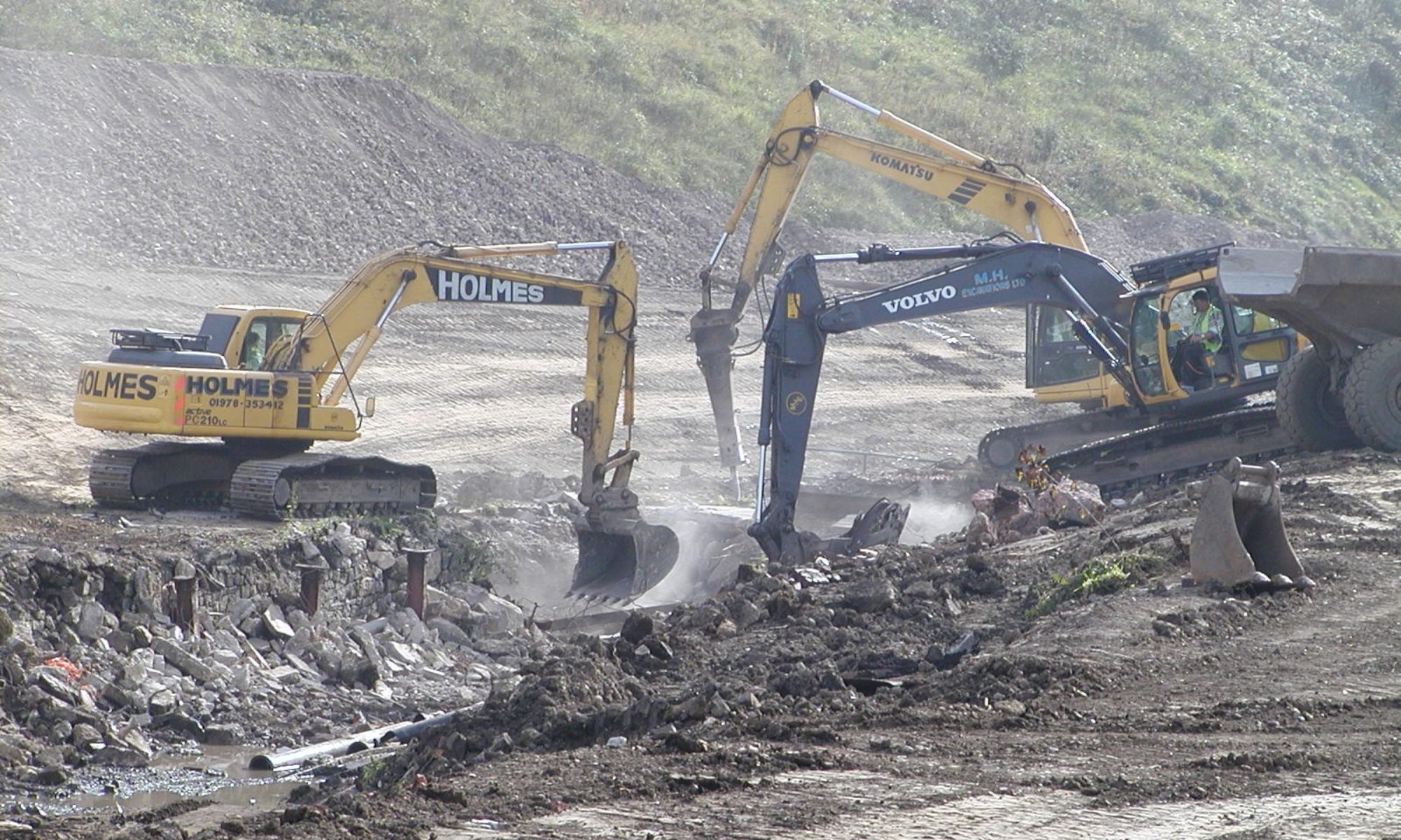
Do you need to monitor progress: assess volumes & levels of earthworks or quarrying, check on road construction or the progress of building works?
Do you need a close-up inspection for assessing dilapidation and repairs of a chimney or roof (coupled perhaps with a structural survey) … something that traditionally might have been performed by steeple-jacks or involve expensive scaffolding/staging?
Do you have a property to sell … residential, employment, open space, landfill and want to support the sale with aerial photographs and videos?
Are you a farmer who needs to monitor crop growth?
Are you an archæologist who would like to survey an historic site, perhaps now exposed as a result of moorland fires or drought?
Drone technology is rapidly advancing, and Daineswell uses the latest quadcopters to provide clear* photographs and videos from heights up to 120 metres.
*Up to 4k imagery – suitable for viewing on 1080p and HD televisions & computers. Videos are shot in Ultra HD (4k) at 25 fps – giving a very good quality film standard. Lower resolutions can be supplied, especially when file size is a factor.
Data are stored on our server for downloading via Cloud technologies. Alternatively, your results can be presented on disk or USB stick.
Daineswell Drones carries bespoke Public Liability Insurance for its drone services and uses only licensed pilots who hold CAA certification (PfCO), keeping up with rapidly changing standards.
There are many applications for this relatively new industry.
Our current service includes:
- Site condition – including pre-commencement (dilapidation) surveys
- Earthworks
- Quarrying
- Building & Engineering works
- Roads & Draiange infrastructure & Adoption condition
- Crop production
- Solar panel installation
- Industrial & Residential rooves
- Chimneys & Spires
- Stockpiles
- Quarrying
- Landfill
- Exploratory hole locations, for SI for example
- Archæological assessment
- Extent of invasive weeds
In the near future, we aim to include:
- Topographical surveys – we are working in conjunction with third party software developers to provide a one-stop solution that will save time and expense, improving on current methods, which involve several different software packages
- CGI – the integration of existing topography with architectural projections of the site to give ‘fly-by’ videos of proposed residential and industrial layouts, suitable for planning and marketing purposes.
